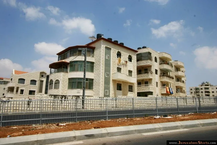
East Jerusalem \ Beit Hanina, East Jerusalem

10.08.2009
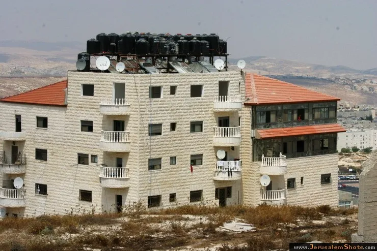
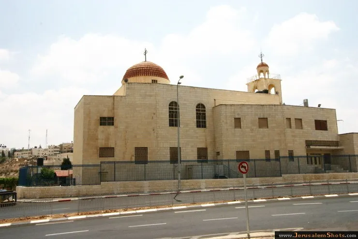
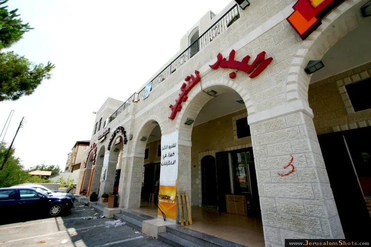
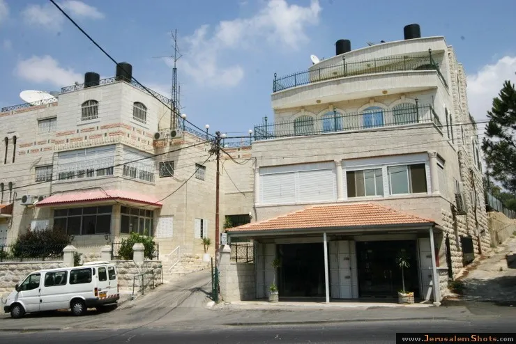
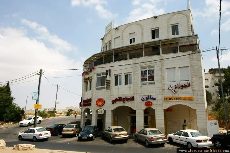
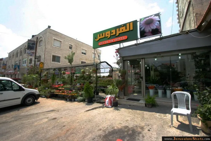
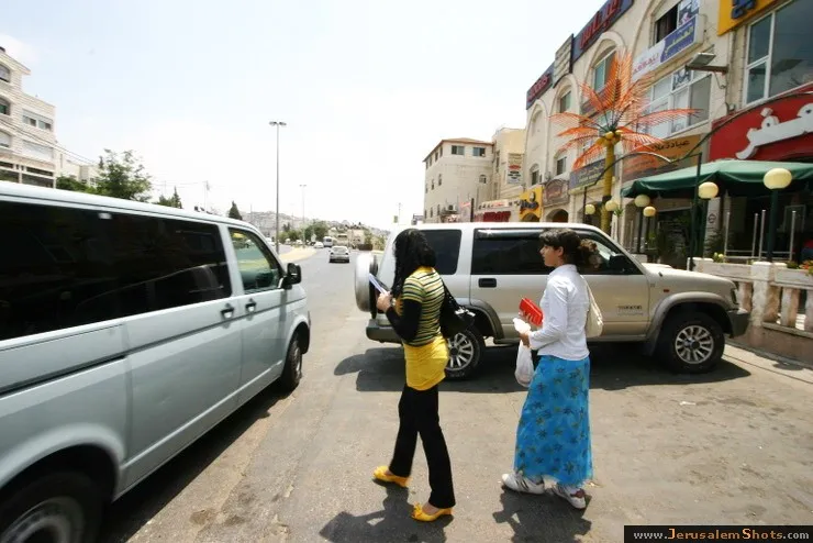
Beit Hanina is a Palestinian neighborhood in East Jerusalem on the road to Ramallah. It is bordered by Hizma to the east, Shuafat to the south, Beit Iksa and Nabi Samwil to the west. The total area of Beit Hanina is 20 sq. kilometers (approximately 9 sq. miles). In 2007, Beit Hanina had a population of over 27,000.
Beit Hanina is a Palestinian neighborhood in East Jerusalem on the road to Ramallah. It is bordered by Hizma to the east, Shuafat to the south, Beit Iksa and Nabi Samwil to the west. The total area of Beit Hanina is 20 sq. kilometers (approximately 9 sq. miles). In 2007, Beit Hanina had a population of over 27,000.


 © Valery Dembitsky
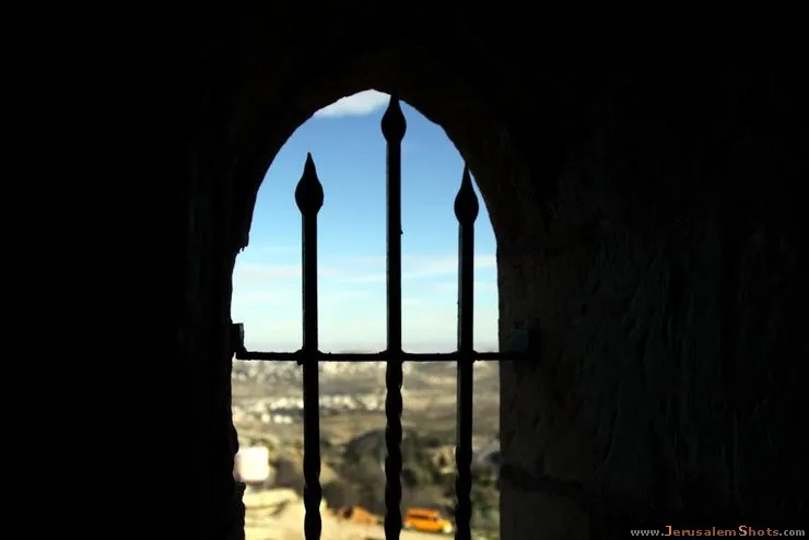
East Jerusalem \ Nebi Samwil (The Prophet Samuel)

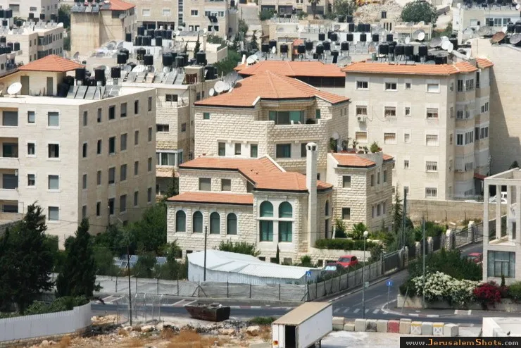
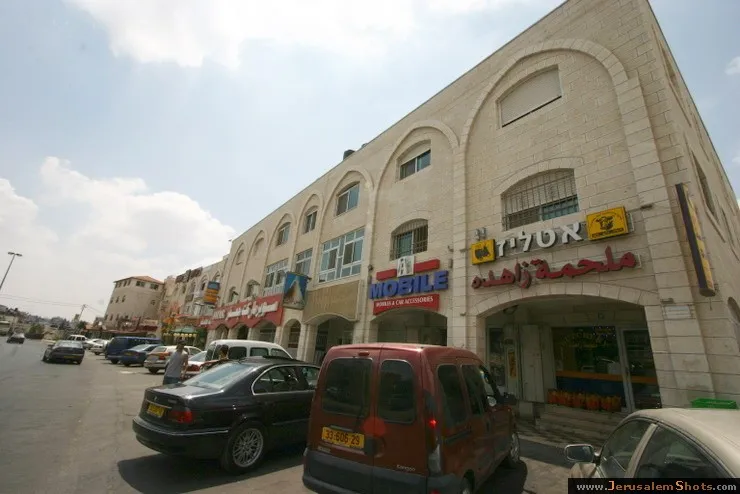
Beit Hanina, East Jerusalem
10.08.2009
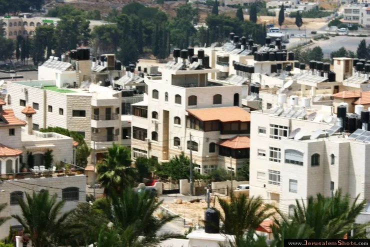
Beit Hanina is a Palestinian neighborhood in East Jerusalem on the road to Ramallah. It is bordered by Hizma to the east, Shuafat to the south, Beit Iksa and Nabi Samwil to the west. The total area of Beit Hanina is 20 sq. kilometers (approximately 9 sq. miles). In 2007, Beit Hanina had a population of over 27,000.
Beit Hanina is a Palestinian neighborhood in East Jerusalem on the road to Ramallah. It is bordered by Hizma to the east, Shuafat to the south, Beit Iksa and Nabi Samwil to the west. The total area of Beit Hanina is 20 sq. kilometers (approximately 9 sq. miles). In 2007, Beit Hanina had a population of over 27,000.
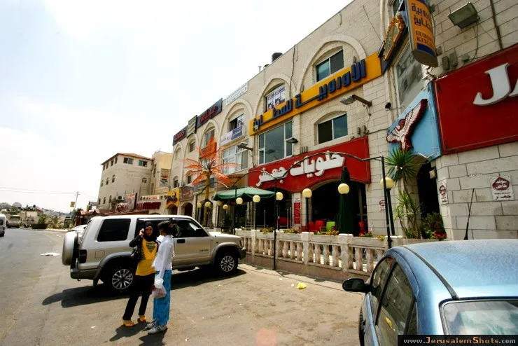
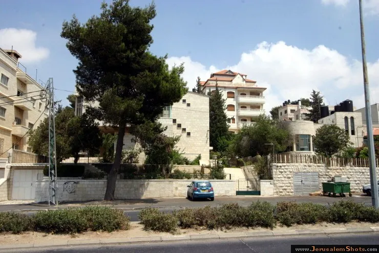
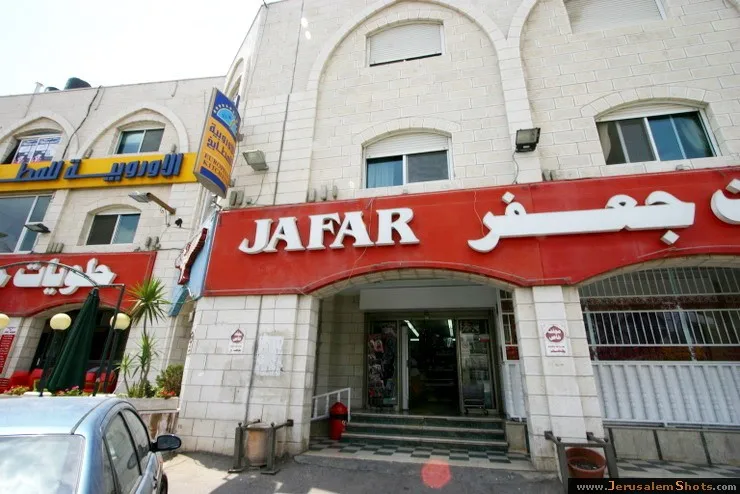
East Jerusalem \ Beit Hanina, East Jerusalem
10.08.2009
Beit Hanina is a Palestinian neighborhood in East Jerusalem on the road to Ramallah. It is bordered by Hizma to the east, Shuafat to the south, Beit Iksa and Nabi Samwil to the west. The total area of Beit Hanina is 20 sq. kilometers (approximately 9 sq. miles). In 2007, Beit Hanina had a population of over 27,000.
Beit Hanina is a Palestinian neighborhood in East Jerusalem on the road to Ramallah. It is bordered by Hizma to the east, Shuafat to the south, Beit Iksa and Nabi Samwil to the west. The total area of Beit Hanina is 20 sq. kilometers (approximately 9 sq. miles). In 2007, Beit Hanina had a population of over 27,000.
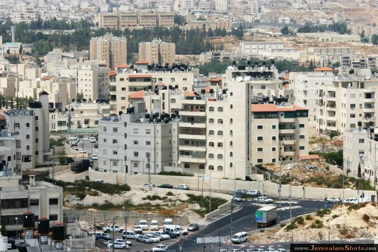
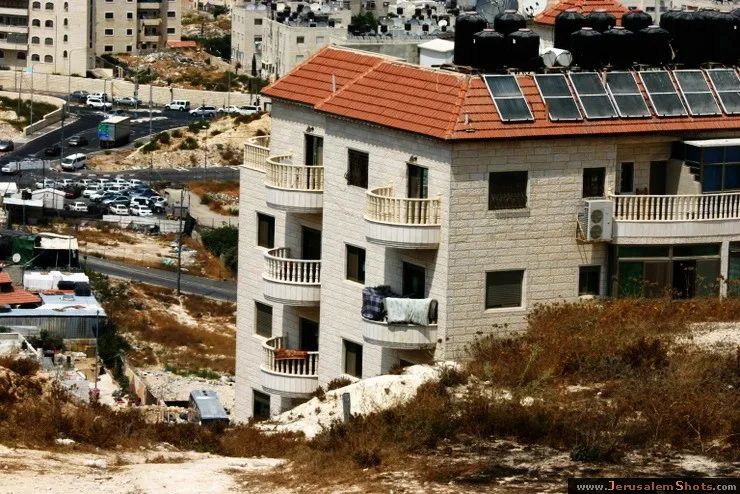
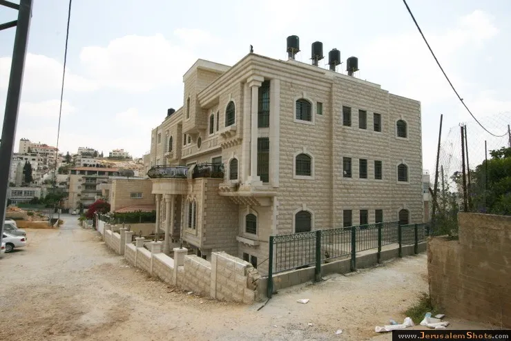
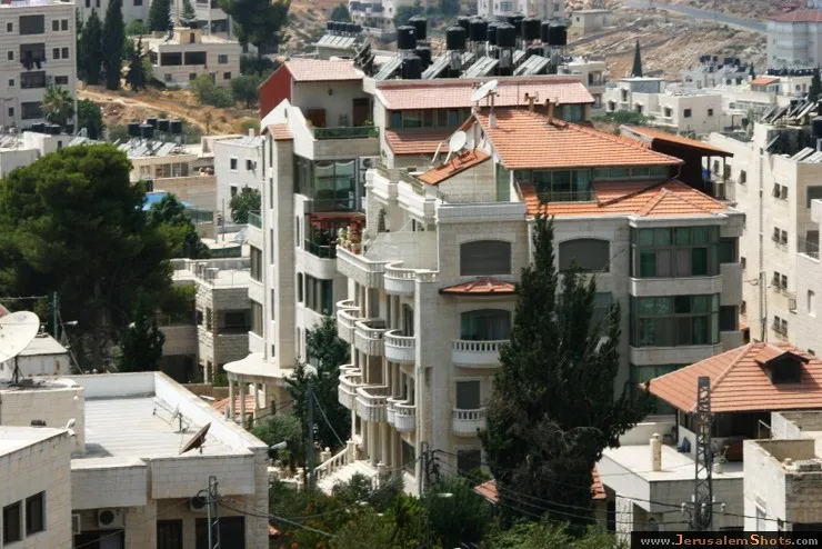
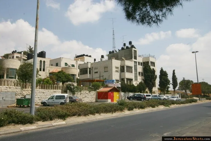
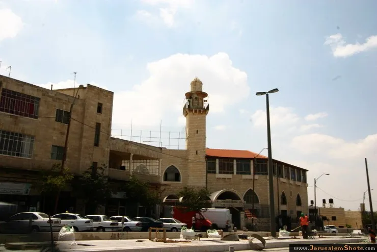
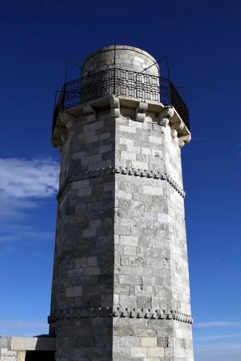
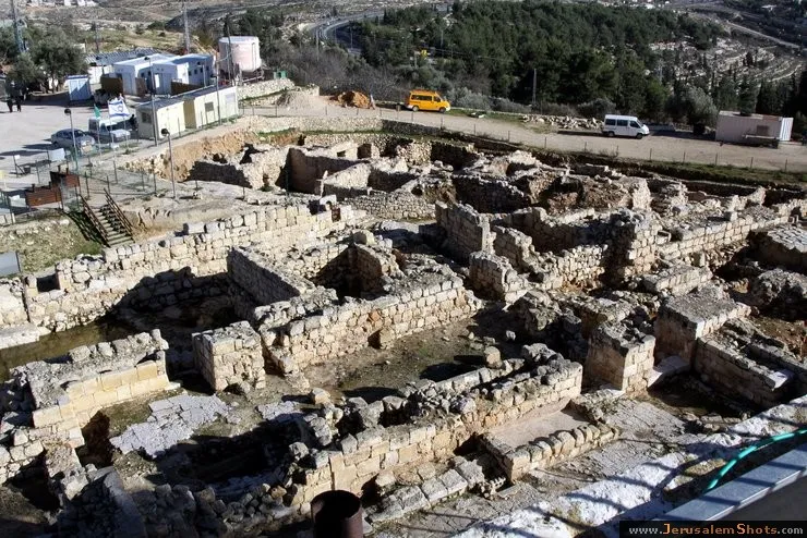
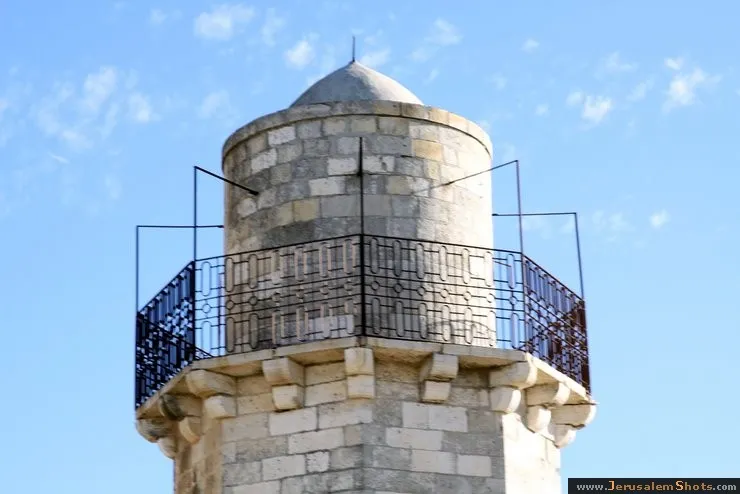
East Jerusalem \ Nebi Samwil (The Prophet Samuel)
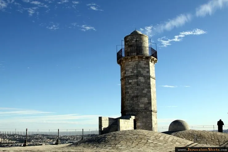
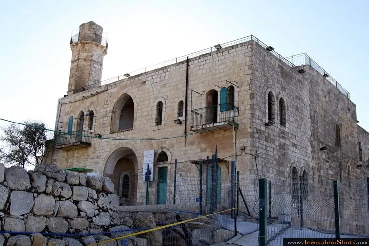
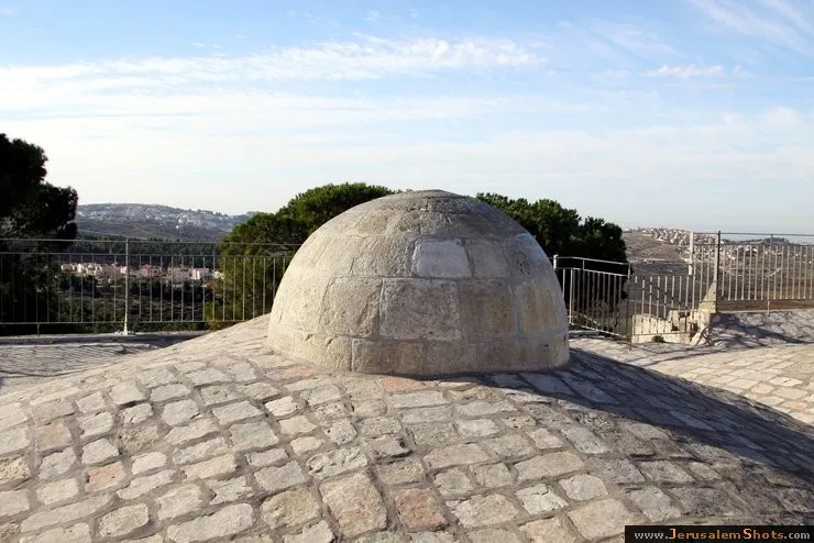
The Tomb of Samuel, (Arabic: نبي صموئيل, translit. Nebi Samwil Hebrew: קבר שמואל, translit. Kever Shmuel;), is the traditional burial site of the biblical Hebrew prophet Samuel, atop a steep hill at an elevation of 908 meters above sea level. It is situated to the north of the Jerusalem neighborhood of Ramot. On the site is a building containing a mosque built in the 18th century that was formerly a church. The tomb itself is located in an underground chamber where a small synagogue is located.
Beit Hanina, East Jerusalem
Beit Hanina is a Palestinian neighborhood in East Jerusalem on the road to Ramallah. It is bordered by Hizma to the east, Shuafat to the south, Beit Iksa and Nabi Samwil to the west. The total area of Beit Hanina is 20 sq. kilometers (approximately 9 sq. miles). In 2007, Beit Hanina had a population of over 27,000.
Beit Hanina, East Jerusalem
10.08.2009
Beit Hanina is a Palestinian neighborhood in East Jerusalem on the road to Ramallah. It is bordered by Hizma to the east, Shuafat to the south, Beit Iksa and Nabi Samwil to the west. The total area of Beit Hanina is 20 sq. kilometers (approximately 9 sq. miles). In 2007, Beit Hanina had a population of over 27,000.
Beit Hanina is a Palestinian neighborhood in East Jerusalem on the road to Ramallah. It is bordered by Hizma to the east, Shuafat to the south, Beit Iksa and Nabi Samwil to the west. The total area of Beit Hanina is 20 sq. kilometers (approximately 9 sq. miles). In 2007, Beit Hanina had a population of over 27,000.
Beit Hanina, East Jerusalem
10.08.2009
Beit Hanina is a Palestinian neighborhood in East Jerusalem on the road to Ramallah. It is bordered by Hizma to the east, Shuafat to the south, Beit Iksa and Nabi Samwil to the west. The total area of Beit Hanina is 20 sq. kilometers (approximately 9 sq. miles). In 2007, Beit Hanina had a population of over 27,000.
Beit Hanina is a Palestinian neighborhood in East Jerusalem on the road to Ramallah. It is bordered by Hizma to the east, Shuafat to the south, Beit Iksa and Nabi Samwil to the west. The total area of Beit Hanina is 20 sq. kilometers (approximately 9 sq. miles). In 2007, Beit Hanina had a population of over 27,000.
Beit Hanina, East Jerusalem
10.08.2009
Beit Hanina is a Palestinian neighborhood in East Jerusalem on the road to Ramallah. It is bordered by Hizma to the east, Shuafat to the south, Beit Iksa and Nabi Samwil to the west. The total area of Beit Hanina is 20 sq. kilometers (approximately 9 sq. miles). In 2007, Beit Hanina had a population of over 27,000.
Beit Hanina is a Palestinian neighborhood in East Jerusalem on the road to Ramallah. It is bordered by Hizma to the east, Shuafat to the south, Beit Iksa and Nabi Samwil to the west. The total area of Beit Hanina is 20 sq. kilometers (approximately 9 sq. miles). In 2007, Beit Hanina had a population of over 27,000.
East Jerusalem \ Beit Hanina, East Jerusalem
10.08.2009
Beit Hanina is a Palestinian neighborhood in East Jerusalem on the road to Ramallah. It is bordered by Hizma to the east, Shuafat to the south, Beit Iksa and Nabi Samwil to the west. The total area of Beit Hanina is 20 sq. kilometers (approximately 9 sq. miles). In 2007, Beit Hanina had a population of over 27,000.
Beit Hanina is a Palestinian neighborhood in East Jerusalem on the road to Ramallah. It is bordered by Hizma to the east, Shuafat to the south, Beit Iksa and Nabi Samwil to the west. The total area of Beit Hanina is 20 sq. kilometers (approximately 9 sq. miles). In 2007, Beit Hanina had a population of over 27,000.
Beit Hanina, East Jerusalem
10.08.2009
Beit Hanina is a Palestinian neighborhood in East Jerusalem on the road to Ramallah. It is bordered by Hizma to the east, Shuafat to the south, Beit Iksa and Nabi Samwil to the west. The total area of Beit Hanina is 20 sq. kilometers (approximately 9 sq. miles). In 2007, Beit Hanina had a population of over 27,000.
Beit Hanina is a Palestinian neighborhood in East Jerusalem on the road to Ramallah. It is bordered by Hizma to the east, Shuafat to the south, Beit Iksa and Nabi Samwil to the west. The total area of Beit Hanina is 20 sq. kilometers (approximately 9 sq. miles). In 2007, Beit Hanina had a population of over 27,000.
East Jerusalem \ Nebi Samwil (The Prophet Samuel)
Beit Hanina, East Jerusalem
Beit Hanina is a Palestinian neighborhood in East Jerusalem on the road to Ramallah. It is bordered by Hizma to the east, Shuafat to the south, Beit Iksa and Nabi Samwil to the west. The total area of Beit Hanina is 20 sq. kilometers (approximately 9 sq. miles). In 2007, Beit Hanina had a population of over 27,000.
Beit Hanina, East Jerusalem
10.08.2009
Beit Hanina is a Palestinian neighborhood in East Jerusalem on the road to Ramallah. It is bordered by Hizma to the east, Shuafat to the south, Beit Iksa and Nabi Samwil to the west. The total area of Beit Hanina is 20 sq. kilometers (approximately 9 sq. miles). In 2007, Beit Hanina had a population of over 27,000.
Beit Hanina is a Palestinian neighborhood in East Jerusalem on the road to Ramallah. It is bordered by Hizma to the east, Shuafat to the south, Beit Iksa and Nabi Samwil to the west. The total area of Beit Hanina is 20 sq. kilometers (approximately 9 sq. miles). In 2007, Beit Hanina had a population of over 27,000.
East Jerusalem \ Nebi Samwil (The Prophet Samuel)
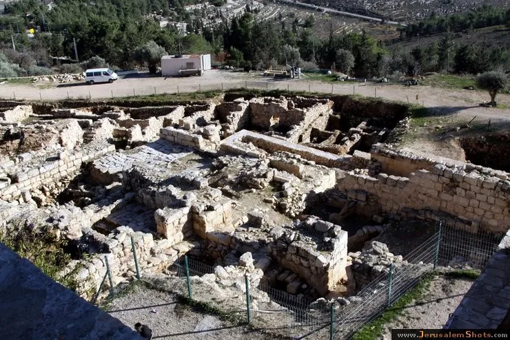
The Tomb of Samuel, (Arabic: نبي صموئيل, translit. Nebi Samwil Hebrew: קבר שמואל, translit. Kever Shmuel;), is the traditional burial site of the biblical Hebrew prophet Samuel, atop a steep hill at an elevation of 908 meters above sea level. It is situated to the north of the Jerusalem neighborhood of Ramot. On the site is a building containing a mosque built in the 18th century that was formerly a church. The tomb itself is located in an underground chamber where a small synagogue is located.
East Jerusalem \ Nebi Samwil (The Prophet Samuel)
East Jerusalem \ Nebi Samwil (The Prophet Samuel)
Beit Hanina, East Jerusalem
Beit Hanina is a Palestinian neighborhood in East Jerusalem on the road to Ramallah. It is bordered by Hizma to the east, Shuafat to the south, Beit Iksa and Nabi Samwil to the west. The total area of Beit Hanina is 20 sq. kilometers (approximately 9 sq. miles). In 2007, Beit Hanina had a population of over 27,000.
Beit Hanina, East Jerusalem

10.08.2009
Beit Hanina is a Palestinian neighborhood in East Jerusalem on the road to Ramallah. It is bordered by Hizma to the east, Shuafat to the south, Beit Iksa and Nabi Samwil to the west. The total area of Beit Hanina is 20 sq. kilometers (approximately 9 sq. miles). In 2007, Beit Hanina had a population of over 27,000.
Beit Hanina is a Palestinian neighborhood in East Jerusalem on the road to Ramallah. It is bordered by Hizma to the east, Shuafat to the south, Beit Iksa and Nabi Samwil to the west. The total area of Beit Hanina is 20 sq. kilometers (approximately 9 sq. miles). In 2007, Beit Hanina had a population of over 27,000.
East Jerusalem \ Beit Hanina, East Jerusalem
10.08.2009
Beit Hanina is a Palestinian neighborhood in East Jerusalem on the road to Ramallah. It is bordered by Hizma to the east, Shuafat to the south, Beit Iksa and Nabi Samwil to the west. The total area of Beit Hanina is 20 sq. kilometers (approximately 9 sq. miles). In 2007, Beit Hanina had a population of over 27,000.
Beit Hanina is a Palestinian neighborhood in East Jerusalem on the road to Ramallah. It is bordered by Hizma to the east, Shuafat to the south, Beit Iksa and Nabi Samwil to the west. The total area of Beit Hanina is 20 sq. kilometers (approximately 9 sq. miles). In 2007, Beit Hanina had a population of over 27,000.
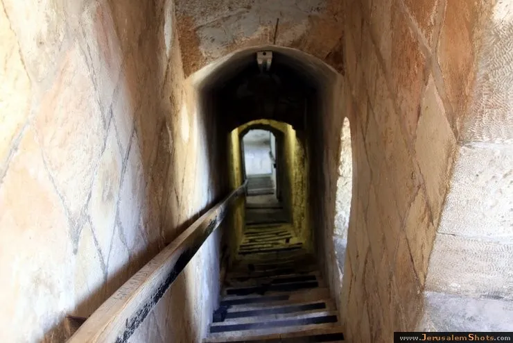
East Jerusalem \ Nebi Samwil (The Prophet Samuel)
The Tomb of Samuel, (Arabic: نبي صموئيل, translit. Nebi Samwil Hebrew: קבר שמואל, translit. Kever Shmuel;), is the traditional burial site of the biblical Hebrew prophet Samuel, atop a steep hill at an elevation of 908 meters above sea level. It is situated to the north of the Jerusalem neighborhood of Ramot. On the site is a building containing a mosque built in the 18th century that was formerly a church. The tomb itself is located in an underground chamber where a small synagogue is located.
East Jerusalem \ Nebi Samwil (The Prophet Samuel)
East Jerusalem \ Nebi Samwil (The Prophet Samuel)