Bayit Vagan \ Kiryat Hayovel
 © RomKri
Stadion Tedi
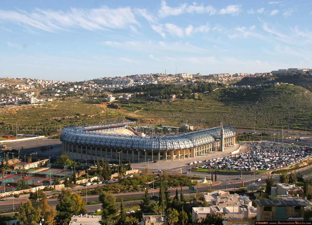
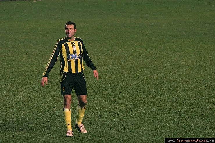
Beitar Jerusalem - Makabi Netanya

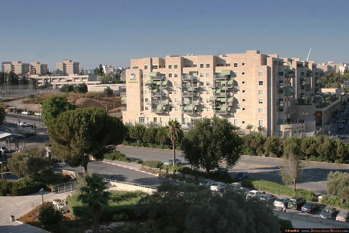
Ramat Beit Hakerem
Beit Tzafafa
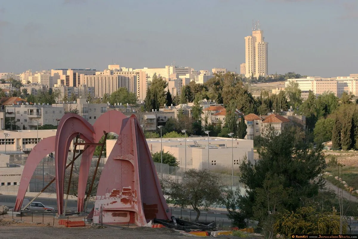
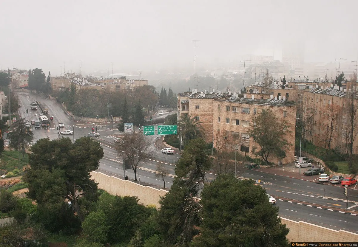
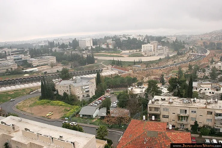
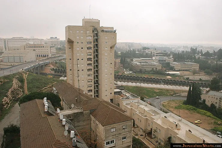
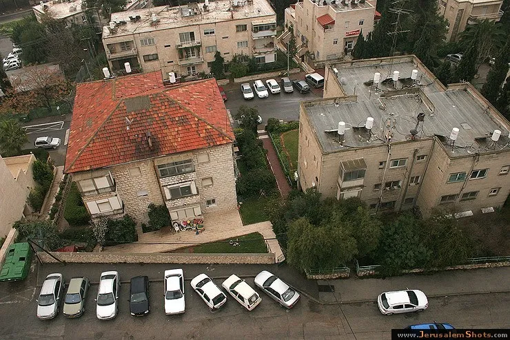
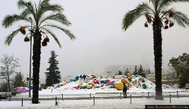
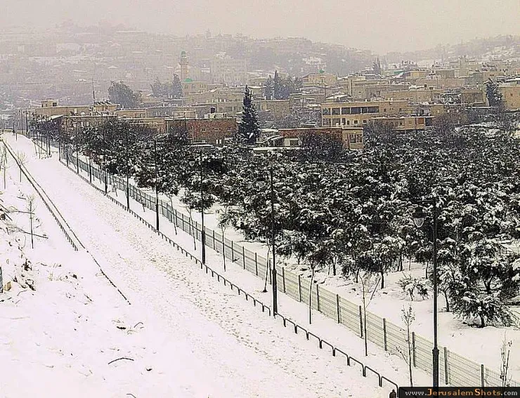
View from my house in Bet Hakerem

View from my house in Bet Hakerem
Ramat Beit Ha-Kerem
Beit Tzafafa
View from my house in Bet Hakerem
Ramat Beit Ha-Kerem

Beit Tzafafa

Beit Jala
Beit Jala

Beitar Jerusalem - Makabi Netanya

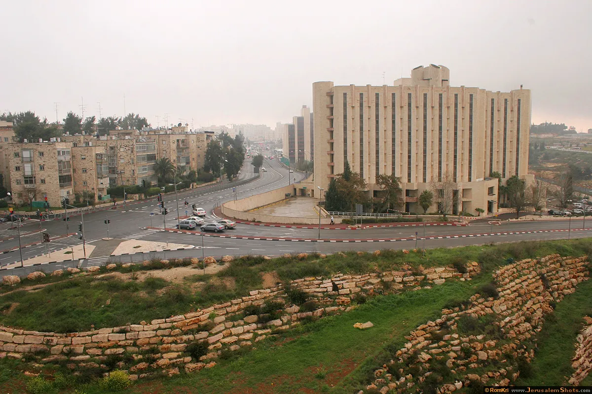
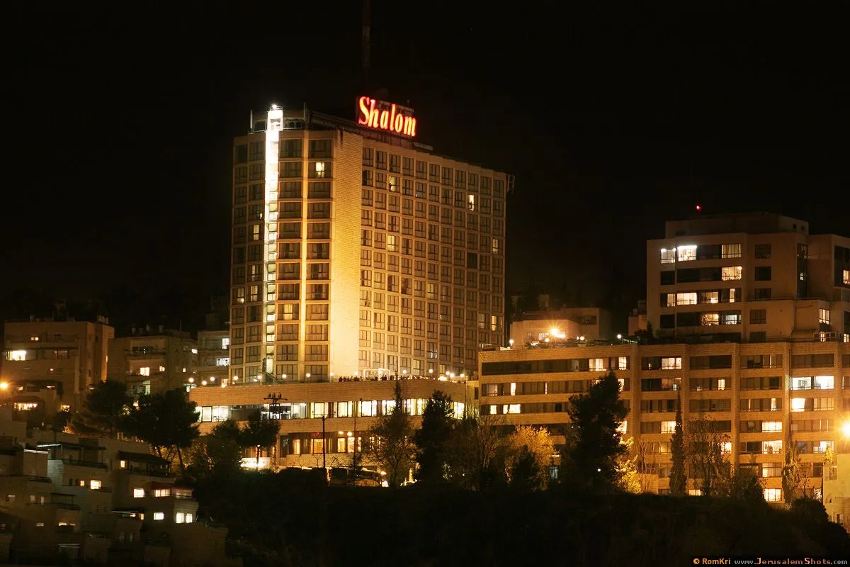
Bayit Vagan \ Shalom hotel
View from my house in Bet Hakerem
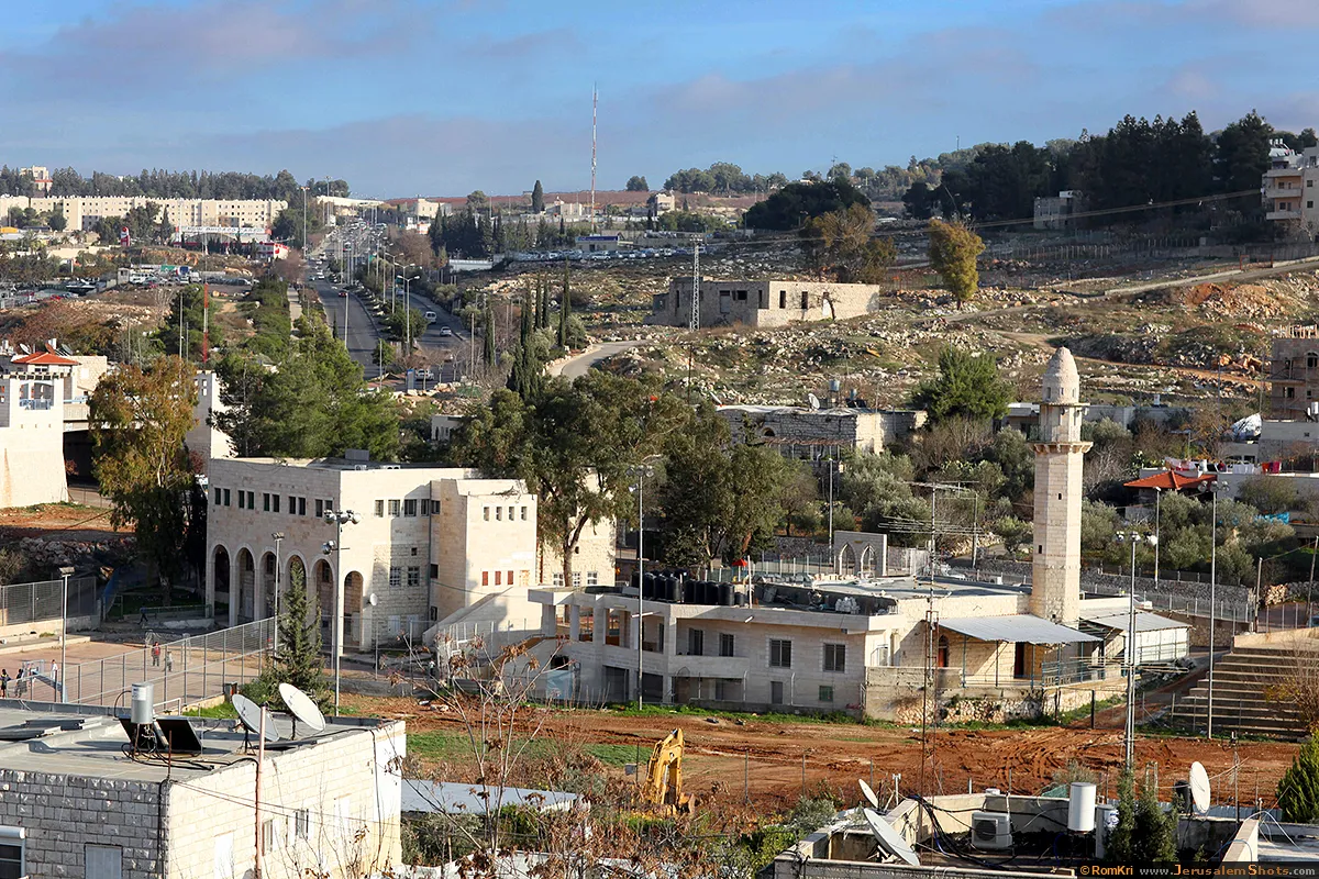
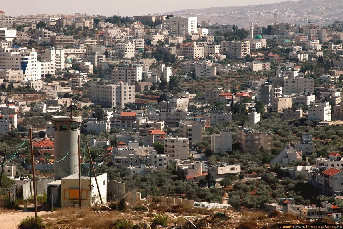
Beit Hanina, East Jerusalem

10.08.2009
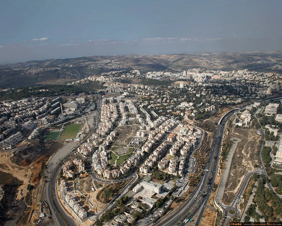
Beit Hanina is a Palestinian neighborhood in East Jerusalem on the road to Ramallah. It is bordered by Hizma to the east, Shuafat to the south, Beit Iksa and Nabi Samwil to the west. The total area of Beit Hanina is 20 sq. kilometers (approximately 9 sq. miles). In 2007, Beit Hanina had a population of over 27,000.
Beit Hanina is a Palestinian neighborhood in East Jerusalem on the road to Ramallah. It is bordered by Hizma to the east, Shuafat to the south, Beit Iksa and Nabi Samwil to the west. The total area of Beit Hanina is 20 sq. kilometers (approximately 9 sq. miles). In 2007, Beit Hanina had a population of over 27,000.


 © Valery Dembitsky
Beit Tzafafa

Beitar Jerusalem - Makabi Netanya

Ramat Beit Ha-Kerem

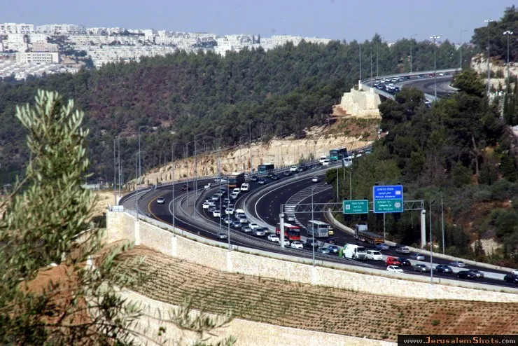
Highway No 1 Tel Aviv Jerusalem
20 July 2009
Highway No 1 is the main highway connecting Tel Aviv with Jerusalem. Highway continues into the occupied West Bank past the Israeli settlement of Ma'ale Adummim, and is then downgraded in size until the Beit HaArava Junction with Route 90 south of Jericho near the shores of the Dead Sea.
Highway No 1 is the main highway connecting Tel Aviv with Jerusalem. Highway continues into the occupied West Bank past the Israeli settlement of Ma'ale Adummim, and is then downgraded in size until the Beit HaArava Junction with Route 90 south of Jericho near the shores of the Dead Sea.
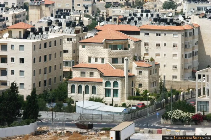
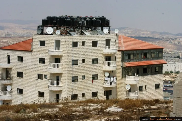
Beit Hanina, East Jerusalem
10.08.2009
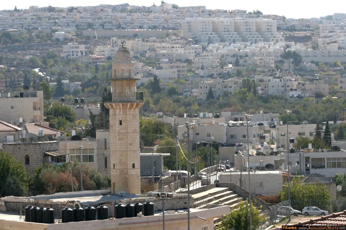
Beit Hanina is a Palestinian neighborhood in East Jerusalem on the road to Ramallah. It is bordered by Hizma to the east, Shuafat to the south, Beit Iksa and Nabi Samwil to the west. The total area of Beit Hanina is 20 sq. kilometers (approximately 9 sq. miles). In 2007, Beit Hanina had a population of over 27,000.
Beit Hanina is a Palestinian neighborhood in East Jerusalem on the road to Ramallah. It is bordered by Hizma to the east, Shuafat to the south, Beit Iksa and Nabi Samwil to the west. The total area of Beit Hanina is 20 sq. kilometers (approximately 9 sq. miles). In 2007, Beit Hanina had a population of over 27,000.
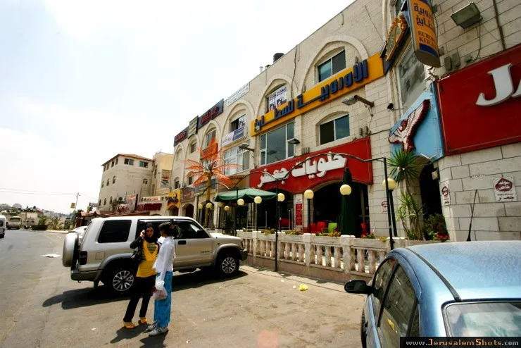
Beit Hanina, East Jerusalem
10.08.2009
Beit Hanina is a Palestinian neighborhood in East Jerusalem on the road to Ramallah. It is bordered by Hizma to the east, Shuafat to the south, Beit Iksa and Nabi Samwil to the west. The total area of Beit Hanina is 20 sq. kilometers (approximately 9 sq. miles). In 2007, Beit Hanina had a population of over 27,000.
Beit Hanina is a Palestinian neighborhood in East Jerusalem on the road to Ramallah. It is bordered by Hizma to the east, Shuafat to the south, Beit Iksa and Nabi Samwil to the west. The total area of Beit Hanina is 20 sq. kilometers (approximately 9 sq. miles). In 2007, Beit Hanina had a population of over 27,000.
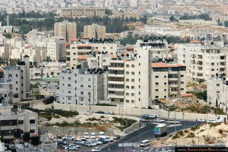
Beit Tzafafa, East Talpiot
View from my house in Bet Hakerem
View from my house in Bet Hakerem
Beitar Jerusalem - Makabi Netanya

Beitar Jerusalem - Makabi Netanya

Beit Tzafafa, East Talpiot
Highway No 1 Tel Aviv Jerusalem

20 July 2009
Highway No 1 is the main highway connecting Tel Aviv with Jerusalem. Highway continues into the occupied West Bank past the Israeli settlement of Ma'ale Adummim, and is then downgraded in size until the Beit HaArava Junction with Route 90 south of Jericho near the shores of the Dead Sea.
Highway No 1 is the main highway connecting Tel Aviv with Jerusalem. Highway continues into the occupied West Bank past the Israeli settlement of Ma'ale Adummim, and is then downgraded in size until the Beit HaArava Junction with Route 90 south of Jericho near the shores of the Dead Sea.
Beitar Jerusalem - Makabi Netanya

Beit Tzafafa
Beit Hanina, East Jerusalem
10.08.2009
Beit Hanina is a Palestinian neighborhood in East Jerusalem on the road to Ramallah. It is bordered by Hizma to the east, Shuafat to the south, Beit Iksa and Nabi Samwil to the west. The total area of Beit Hanina is 20 sq. kilometers (approximately 9 sq. miles). In 2007, Beit Hanina had a population of over 27,000.
Beit Hanina is a Palestinian neighborhood in East Jerusalem on the road to Ramallah. It is bordered by Hizma to the east, Shuafat to the south, Beit Iksa and Nabi Samwil to the west. The total area of Beit Hanina is 20 sq. kilometers (approximately 9 sq. miles). In 2007, Beit Hanina had a population of over 27,000.
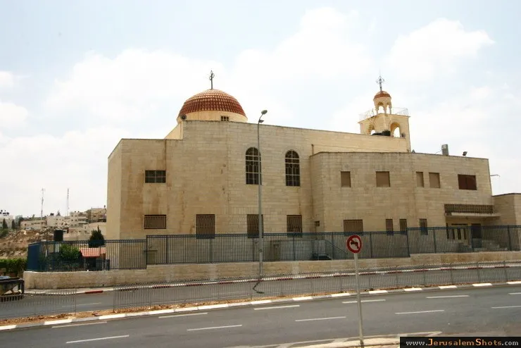
Beit Jamal Monastery

04.12.2008
The Beit Jamal monastery it was established by Salesian monks in 1919.
The Beit Jamal monastery it was established by Salesian monks in 1919.
Beit Jamal Monastery

04.12.2008
The Beit Jamal monastery it was established by Salesian monks in 1919.
The Beit Jamal monastery it was established by Salesian monks in 1919.
Beitar Jerusalem - Makabi Netanya
Beit Hanina, East Jerusalem
Beit Hanina is a Palestinian neighborhood in East Jerusalem on the road to Ramallah. It is bordered by Hizma to the east, Shuafat to the south, Beit Iksa and Nabi Samwil to the west. The total area of Beit Hanina is 20 sq. kilometers (approximately 9 sq. miles). In 2007, Beit Hanina had a population of over 27,000.